
Togo
Togo is one of the narrowest countries in Africa, only about 115 km wide but stretching 550 km inland.
- CapitalLomeOn the Atlantic coast at the Ghanaian border
- PopulationAbout 9 millionIn West Africa
- Area56,785 km2Long and narrow
- WidthAbout 115 kmOne of Africa's narrowest countries
Togo is a thin strip of land running north from a 56 km stretch of Atlantic coast for around 550 km. Its narrow shape is a direct result of colonial borders drawn between German, British and French territories.
In the north-east, the Koutammakou region is home to the Batammariba people, who build takienta: fortified mud tower-houses with rounded turrets that look like small castles. The landscape is a UNESCO World Heritage Site.
National symbols
- National animal Lion
- National colours Green, yellow, red and white
- National anthem Terre de nos aieux (Translation: Land of Our Ancestors)
- National day Independence Day, 27 April
Map of Togo
Geography
Togo covers 56,785 km2 and borders Ghana, Burkina Faso and Benin, with a 56 km Atlantic coastline.
A sandy coastal strip with lagoons rises to a plateau, then to the Togo Mountains running diagonally across the middle where Mont Agou reaches 986 m. The north is savannah draining towards the Oti River.
Climate
The south is tropical with two rainy seasons and high humidity. Unusually for the region, the immediate coast is relatively dry because of the way the coastline runs.
The north has a single rainy season from May to October and a hot dry season with the harmattan blowing dust from the Sahara. The central mountains are cooler and wetter than either end.
Culture
French is the official language, and Ewe and Kabye are national languages, with around 40 languages spoken in total.
Around 43 per cent of Togolese are Christian, 35 per cent follow traditional beliefs including Vodun, and 18 per cent are Muslim. The Batammariba tower houses of Koutammakou are built without any drawn plan, using techniques passed down through generations.
Economy
Phosphate mining is Togo's main mineral industry, and the country has some of the highest-grade phosphate rock in the world, used to make fertiliser.
Cotton, coffee and cocoa are the main agricultural exports. The deep-water port of Lome serves as a transit hub for Burkina Faso, Mali and Niger, and re-export trade is a significant part of the economy.
The flag
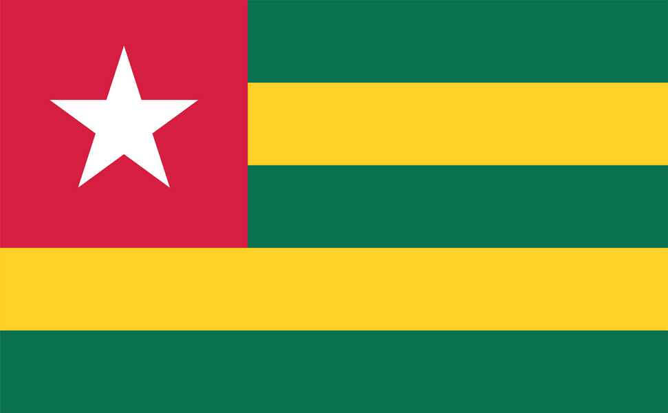
Five horizontal stripes alternating green and yellow, with a red square in the top left corner bearing a white five-pointed star.
The five stripes stand for the five administrative regions of the country. Green represents agriculture and hope, yellow the mineral wealth, red the blood shed for independence, and the white star purity and the pursuit of wisdom. Its proportions follow the golden ratio.