
Mauritania
Mauritania has a formation in the Sahara so large and circular that astronauts use it as a landmark, called the Eye of the Sahara.
- CapitalNouakchottGrown from a village to over a million people
- PopulationAbout 4.9 millionIn north-west Africa
- Area1,030,700 km2Around 75 per cent desert
- Iron ore trainAround 2.5 km longOne of the longest trains in the world
Mauritania is around three quarters Sahara. The desert covers the north and centre, giving way to Sahel scrub in the south along the Senegal River, which forms the border with Senegal.
The Richat Structure, or Eye of the Sahara, is a circular formation about 40 km across in the western desert. Once thought to be an impact crater, it is now understood as an eroded dome of rock, and its concentric rings are clearly visible from orbit.
National symbols
- National animal Camel
- National colours Green, gold and red
- National anthem National Anthem of the Islamic Republic of Mauritania
- National day Independence Day, 28 November
Map of Mauritania
Geography
Mauritania covers 1,030,700 km2 and borders Western Sahara, Algeria, Mali and Senegal, with an Atlantic coastline to the west.
Around 75 per cent of the country is desert or semi-desert, with sand seas, rocky plateaus and the Adrar and Tagant escarpments. The Senegal River valley in the south is the only substantially cultivated area. Kediet ej Jill is the highest point at 915 m.
Climate
Mauritania is hot and extremely dry. The north is Saharan, with almost no rain and summer temperatures above 45C, while the south gets a short rainy season from July to September.
The Atlantic coast is cooler because of the cold Canary Current, and fog is common there. Sandstorms and dust storms occur frequently, and the desert has been advancing southwards for decades.
Culture
Arabic is the official language, and Pulaar, Soninke and Wolof are recognised national languages. Hassaniya Arabic is the everyday spoken form.
Almost all Mauritanians are Muslim, and the country is formally an Islamic republic. Traditional Moorish music is performed by hereditary musician families using the ardin harp and tidinit lute, and tea is served in three ceremonial rounds.
Economy
Iron ore is the largest export, mined in the north and carried by rail to the coast. Gold and copper are also mined.
The cold Atlantic waters are among the richest fishing grounds in the world, and fishing licences and catches are a major source of income. Offshore natural gas is being developed jointly with Senegal.
The flag
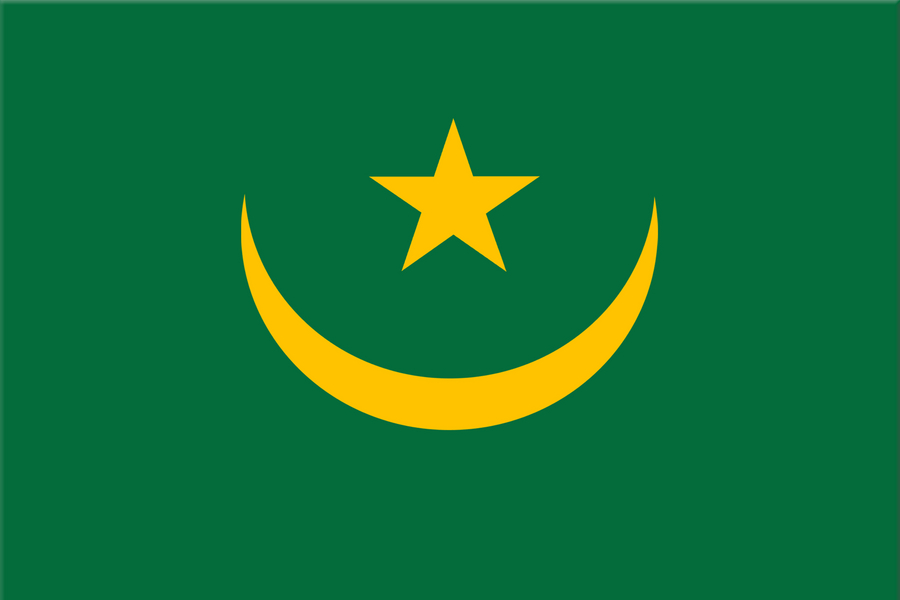
A green field with a gold crescent and five-pointed star in the centre, and a red horizontal band along the top and bottom edges.
Green and the crescent and star stand for Islam, and gold for the sands of the Sahara. The two red bands were added in 2017 and stand for the blood shed by those who defended the country against colonial rule.