
Republic of Congo
The Republic of Congo is around 65 per cent rainforest, and it protects a national park where gorillas and elephants gather in forest clearings.
- CapitalBrazzavilleDirectly across the river from Kinshasa
- PopulationAbout 6 millionIn central Africa
- Area342,000 km2Around 65 per cent rainforest
- CapitalsClosest in the worldBrazzaville and Kinshasa face each other
The Republic of Congo, sometimes called Congo-Brazzaville to distinguish it from its much larger neighbour, sits on the equator with the Congo River forming much of its eastern border.
Brazzaville and Kinshasa, the capitals of the two Congos, face each other across the river only about 3 km apart. They are the closest pair of capital cities in the world.
National symbols
- National animal African forest elephant
- National colours Green, yellow and red
- National anthem La Congolaise (Translation: The Congolese)
- National day Independence Day, 15 August
Map of Republic of Congo
Geography
The Republic of Congo covers 342,000 km2 and borders Gabon, Cameroon, the Central African Republic, the Democratic Republic of Congo and Angola, with a short Atlantic coastline.
A narrow coastal plain rises to the Mayombe hills, then drops into the Niari valley and the vast forested Congo Basin in the north and east. The Congo River and its tributary the Ubangi form much of the eastern border.
Climate
The country straddles the equator and is hot and humid all year, generally 24C to 32C.
The north has rain nearly all year, supporting dense rainforest, while the south has a distinct dry season from June to September. Annual rainfall is typically between 1,200 and 2,000 mm.
Culture
French is the official language, and Kituba and Lingala are the two national languages used across ethnic groups.
Around 86 per cent of Congolese are Christian. Congolese rumba, developed in Brazzaville and Kinshasa in the mid-20th century, spread across the whole continent and is on the UNESCO heritage list. The sapeurs of Brazzaville, known for elaborate and immaculate dress, are a distinctive local phenomenon.
Economy
Oil produced offshore provides the overwhelming majority of export earnings, making the economy highly sensitive to global oil prices.
Timber from the northern rainforest is the second export. The country has been paid to protect its forests and peatlands under international climate agreements, and agriculture remains largely at subsistence level.
The flag
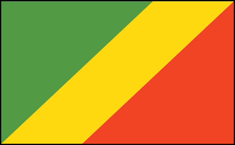
A yellow diagonal band runs from the bottom left to the top right, separating a green triangle in the upper left from a red one in the lower right.
These are the pan-African colours. Green stands for the country's forests and agriculture, yellow for friendship and the nobility of the people, and red is left deliberately unexplained in the official description, though it is generally understood as the blood shed for independence.